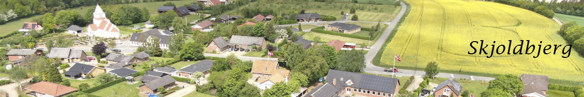
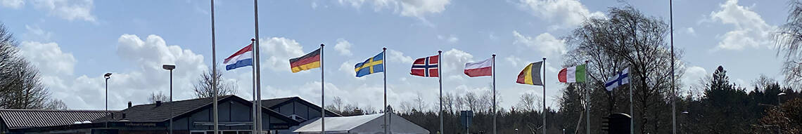
Welcome to one of the oldest villages in Scandinavia – and at the same time one that has the newest facilities.
Visitors are always welcome. Here you can find information to help you enjoy your stay and find out about the ‘real Vorbasse’


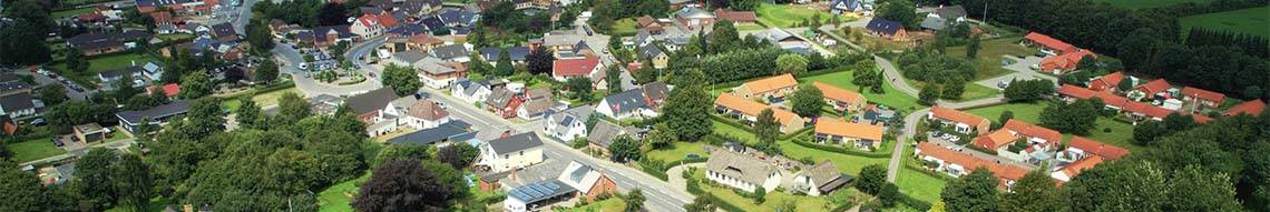
Welcome to one of the oldest villages in Scandinavia – and at the same time one that has the newest facilities.
Visitors are always welcome. Here you can find information to help you enjoy your stay and find out about the ‘real Vorbasse’
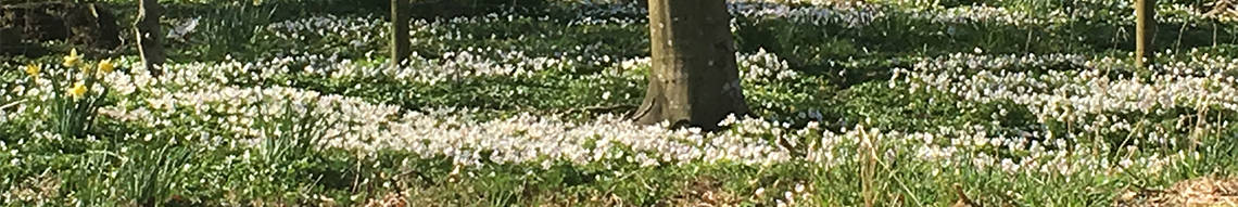
These English texts can also be found in the Information Hut in the town park with accompanying illustrations.
Stone Age and Bronze Age
People settled in the Vorbasse area long before the church, the oldest building in the village, was built at the end of the 12th century. There are three long barrows situated to the north, west and south of Vorbasse. They were made in the late Stone Age by people living here about 4,500 years ago. Their predecessors were nomadic hunters and gatherers. The many round barrows surrounding Vorbasse - and even in the town - are mainly from the Bronze Age.
Knowledge of farming spread from Southern Europe, and the forests clothing the landscape slowly disappeared. Neolithic farmers cultivated their new, small fields and kept horses, cows, pigs, sheep, and goats.
What looks like a Stone Age festival area has recently been unearthed in the western end of Vorbasse with 15 bonfire patches, dating back to about 2,000 B.C.
Iron Age
The first Iron Age settlement was established around 100 B.C. by Lille Bavn (The Small Beacon), 800 yards north of modern Vorbasse. This first village occupied a relatively high situation skirting the marshy areas northwest and south of it. There were nine longhouses and seven smaller buildings. The village was moved no less than six times over the next 1,000 years, but always within a few hundred meters. The village may have been moved to exploit the farming ground optimally, or maybe because the oak posts bearing the houses slowly rotted. The village wells certainly became polluted over the years by animals and humans. The area was good to live in; there was adequate water, grazing for cattle, and plenteous supplies of bog iron, which was smelted into iron.
When the village was moved to the west shortly after the second century A.D., it remained in this location for about 250 years (villages 4 and 5). This was a large settlement with 60 longhouses and 48 smaller buildings. The houses were built in fine rows facing north-south, the houses themselves were oriented east-west. The longhouses measured up to 43 yards in length, a good five yards broad. There was one especially large farm, and to its east was found a collection of graves of 16 men, women, and children. Life expectancy was low - about 40 years. Infant mortality was very high.
In the middle, two richly equipped warrior graves have been excavated, surrounded by equally rich graves of five women. Maybe this was the family burial ground of the village chieftain. The village was well-organised. Each farm was fenced, and the whole complex had a sturdy fence about it, which could be defended against attack.
The Viking Age
In the Viking era (app. 800 A.D. to 1050 A.D.), the village was again moved to an area surrounding and west of Lille Bavn. It extended over the earlier village number 4 from the 2nd century A.D. The Viking village consisted of six large farms arranged in two rows with a broad street between them. Each farm was a complex of several buildings. They resembled each other and were clearly located according to a master plan. The main longhouse, about 30 yards long, was situated in the middle of the croft. The stable was always located at the east end of the building with stabling for 20 to 30 animals. The other smaller individual buildings were for storage, barns for hay, smithies, and huts for weaving. The farms had increased in size. There was a common well, but each farm also had its own well.
Towards the end of the 9th century, the village expanded to three times its size, and reached out both north and west. The farms were a standardised size of 20,000 - 25,000 square yards (approximately five football pitches). The structure was most probably defined by some central power for the purposes of taxation, among other things.
Dwelling quarters and stabling were now segregated. There was a number of smaller houses for people occupied on the farm, as there was work for many hands. Maybe some of them were serfs. There were barns and the usual specialised farm buildings. The village could house between 400 and 500 animals, of which the majority were exported. The village was conveniently close to the great transport route, the Ox Road.
The largest farm was occupied by a chieftain, who could stable between 60 and 80 horses. This indicates that he had housecarls - his own private lifeguard - that could be deployed in war. Vorbasse was situated close to the Court of Jelling. The chieftain could have been a trusty supporter of the kings there: Gorm the Old, Harald Bluetooth and Sweyn Forkbeard.
Vorbasse was a peaceful village in Viking times, living off cattle farming. It was also known as an ‘industrial area’. There were abundant supplies of bog iron in the marshes here. Viking smiths extracted iron by smelting the bog ore in specially constructed furnaces. The smithies in many farms were directly connected to the longhouse with a fenced area between them. The smith was a very important figure as smelting required skill and long experience. On some of the farms he also smelted bronze.
Early Middle Age
The establishment of churches signalled the start of the Middle Ages. The removal of the last, large Viking village was southward to the church. The farms were not grouped around the church but were built to the west and south of it. They were placed around what we today know as the main street through Vorbasse. They kept their original size. The largest occupied an area just south of the church, where Vorbassegård stands today opposite the school. There were many smaller houses on its croft from the 13th century and up to the 16th century. They were used as farm dwellings, stores, and workshops. Similar contemporary houses, workshops and wells have been excavated in the middle of Vorbasse.

HISTORICAL ROUTES
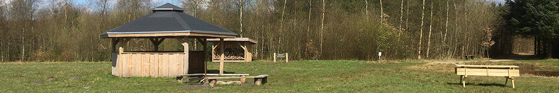
These are two suggested walks back in time. They take their starting point at the Information Hut in the town park beside the pond - affectionately known throughout Denmark as ‘The Naval Port of Vorbasse’ (the red circle on the map). There are also folders in the hut - in Danish and English.
Walk 1.
Take a trip through more than 2,000 years of village history, which unfolded just north of present-day Vorbasse. The walk is about 2.5 kilometres long.
Take the road towards Billund. At post 1 you have a view up a slight rise in the landscape. The area before it has been too swampy to build on. Follow the path to post 2, where the village stood in the years 300 - 400 A.D. Archaeologists made their best finds here.
Post 3 is on the edge of a new settlement, when it moved at the end of the 4th century. It extended across the present road. A new village was established in the 6th century a little more to the north. Post 4 is on high ground; we have returned to the very first village of Vorbasse, established here around 100 B.C. It stood here securely, raised above the swampy areas. To the north you see The Great Beacon, where the villagers’ forefathers from the Stone and Bronze Ages were buried.
Post 5: A century later the village moved to the east. The houses’ oak timber rotted, and new wells were dug further away, as the previous ones became polluted.
Stop 6: The largest and last village from the Viking period lay to the west, until it migrated to where it is today.
Follow the road to the church. Post 7 is by the church and the Holy Well, and post 8 marks where the Holy Well markets were held. There were also houses from the 13th century here.
The final post (number 9) is by the stone embankment along the vicarage. This wall defines the grounds of the vicarage; they were probably established when the church was built.
Walk 2.
Carry on to the walk from the Middle Ages to our times, taking in Vorbasse’s markets on the way.
The walk is about 2 kilometres long, covering the Middle Ages to our times, including the markets.
Post 1 is by the old village common, where the markets were moved to from the Holy Well area.
Post 2 marks the large, open area where the markets later could more easily expand.
Many remains of Middle Age Vorbasse have been found close to post 3. Post 4 is where a chieftain’s farm stood: Vorbasse Farm, which has occupied this site for about 800 years.
Carry on along the road to the centre of town to post 5, where there is a house just like those of the Middle Ages.
Post 6 is on the edge of Vorbasse’s newest marketplace. There is ample room here for the great markets of our time. And also, for people who just want to go for a long walk.
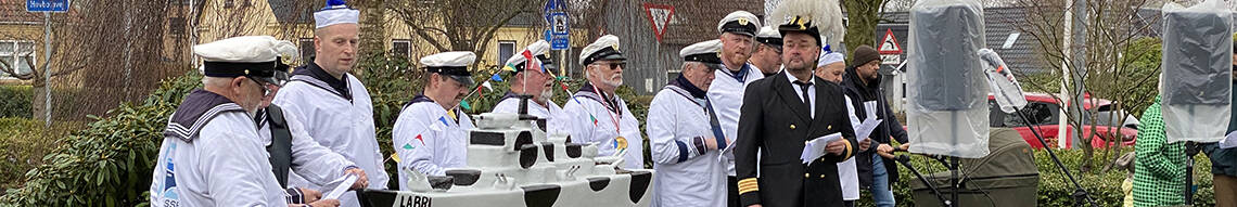
You will find a statue commemorating Professor Labri, Vorbasse’s unique travelling entertainer, at post 7.
Carry on round to the centre of Vorbasse: post 8. This was also the centre of Vorbasse in the year 1500.
Post 9 is by the town pond in the Middle Ages. The house of one of the most important men of that time stood here, too.
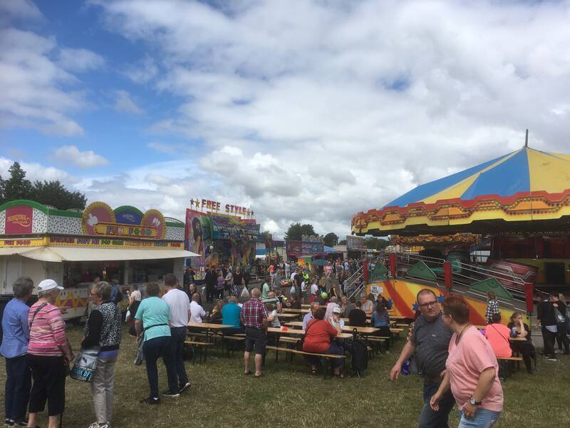
No summer is complete without a visit to ‘Denmark’s greatest family tradition’. A quarter of a million guests visit the market every summer. Its history goes back almost 300 years. This year the market opens on Thursday 18th July at 12 o’clock and continues until the great firework display on Saturday 20st July at 11 p.m.
There are always 400 – 500 horses for sale, 200 dealers selling small animals (from white mice to red cockerels) and around 650 stalls of market goods – new, old, antique, odd. There are also six or seven travelling fairs with various attractions, as well as lots of free entertainment on the market stages. Vorbasse market is also the focus for many colorful ‘knights of the Danish roads’: tramps and travelling entertainers.
See the program on: www.vorbasse-marked.dk